Apple Maps has always been the go-to web mapping service for iPhone and Mac users who want reliable, convenient navigation. Its clean, intuitive UI integrates smoothly across your Apple devices to sync routes. Now, Apple is taking things up a notch with topographic maps and offline navigation in iOS 18, iPadOS, and macOS 15. They give users the tools to explore a range of off-the-grid locations safely. You can count on Maps whether you’re hiking in remote wilderness or traveling areas with limited connectivity.
You’ll never be left stranded and unprepared in no-service areas again. Dive into how to activate and use these powerful new tools for your next adventure.
How To Use Topographic Maps on iOS 18 iPadOS 18, and macOS 15
Apple’s topographic maps provide fine-grained details on elevation, trail conditions, and land cover. It’s a modern, convenient alternative to physical maps. Just zoom in and out of your screen as needed instead of carrying a large map that you folded 16 ways.
Time needed: 3 minutes
The feature is available upon upgrading. There’s currently no external setting to turn the feature on or off. It’s likely unavailable in your area if you don’t see it from the outset. Try looking for another location in the U.S. or Japan. Follow these steps:
- Open the Apple Maps app on iPhone, iPad, or Mac.
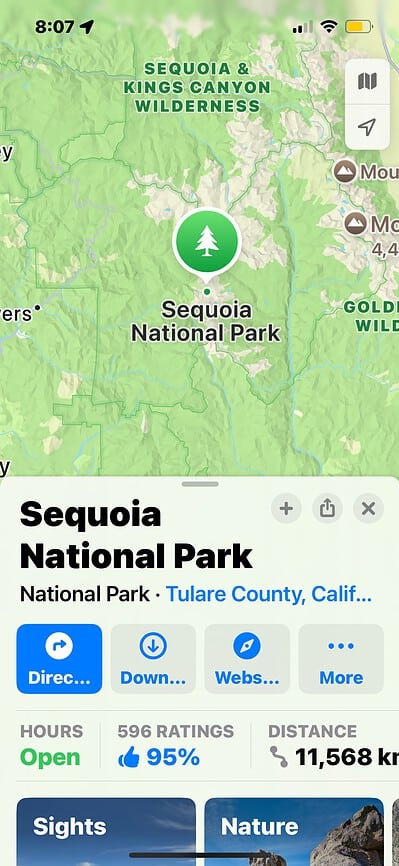
- Use the Search Bar to look up a location (such as a national park or hiking area).

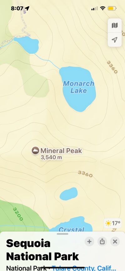
- The contour lines should automatically load after a few seconds.
- You’ll see more detailed quantitative representations as you zoom in on the terrain. Higher numbers represent elevation, while lower figures indicate descent.
How To Use Offline Navigation on iOS 18 iPadOS 18, and macOS 15
The biggest disadvantage of web mapping services is their reliance on internet connectivity. You can’t use them without the internet. Hikers, campers, backpackers, and trail runners, among other outdoor enthusiasts, might have trouble navigating remote areas with little to no signal.
To work around this waterloo, Apple is introducing offline navigation. You can now download routes ahead of time—you can view these saved files whether or not you have an internet connection. All you need is your local device.
It’s automatically enabled after updating. You’ll see it in several U.S. locations, although Apple should roll out worldwide support in later iOS 18 iterations.
- Open Apple Maps and search for the area you want to download.
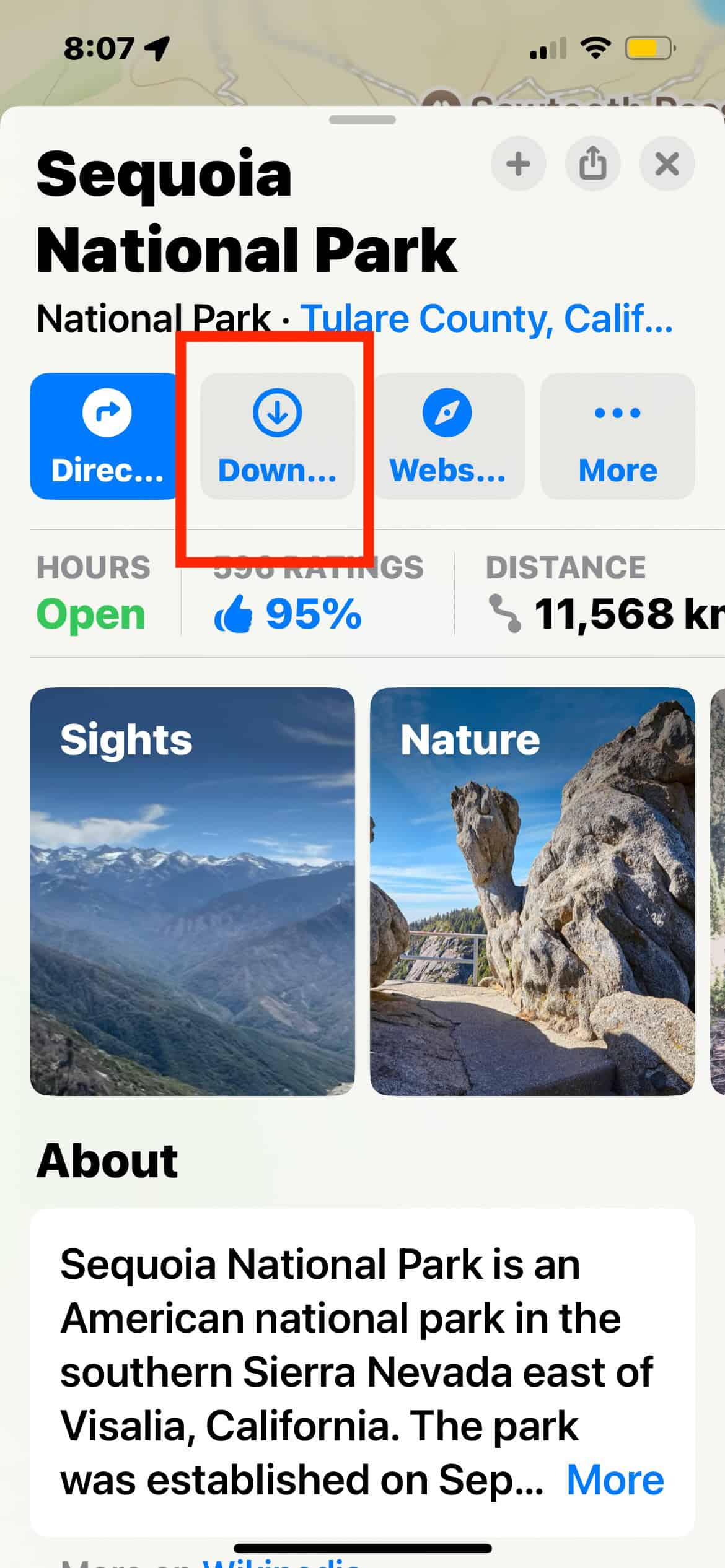
- Once the region loads, swipe up to reveal the location options.
- Tap Download for offline use.
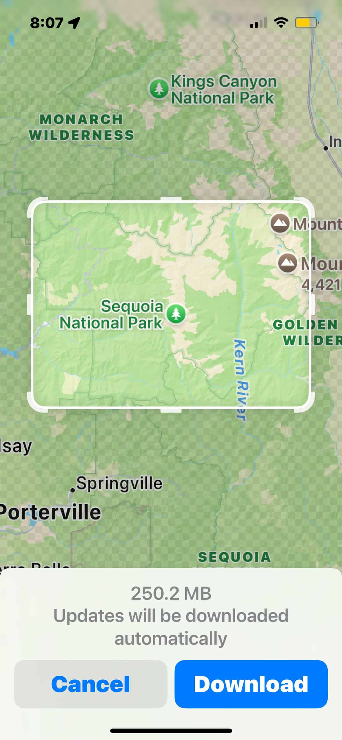
- Choose the region size you’re navigating and adjust the zoom level to cover more (or less) area.
- Once the download is complete, you can access this map anytime and anywhere.
- Maps will automatically switch to offline mode if network connectivity is unavailable. You can navigate just as you would with a regular map.
How To Use Topographic Maps and Offline Navigation
Knowing how to use these features is one thing, but applying them effectively in real-life situations is another. Let’s say you’re hiking the Grand Canyon trails. Cell service is unreliable in most trails, so you can’t solely rely on online mapping services. It’s important to download your route beforehand.
Likewise, the trails are relatively advanced. Research your route’s terrain type, slope steepness, and natural obstacles so that you can train yourself physically and mentally. Going on a hiking trip unprepared is a recipe for disaster. One mistake could make the difference between a fun, thrilling adventure and a life-threatening trip to the hospital.
Apple made Maps more hiker-friendly than ever. There are several tools to utilize when planning a hiking trip, from detailed navigation to customized routes. Make sure you explore them as well.


