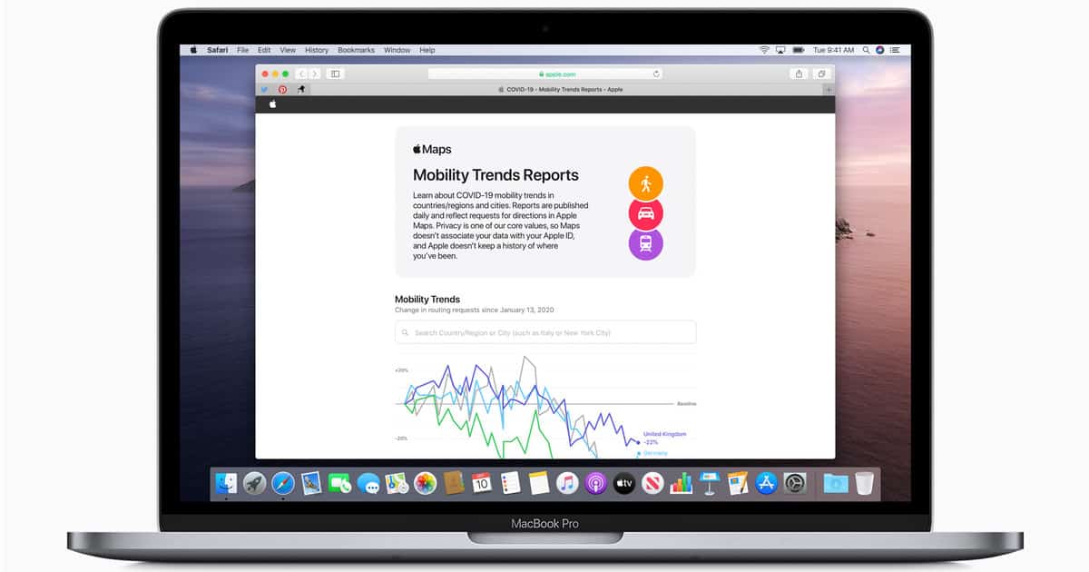
Apple announced on Tuesday that it is making aggregated navigation data from Apple Maps available to support the fight against coronavirus. The aim is to provide useful insights to local governments and health authorities.

Apple Maps Aggregated Navigation Data Providing Mobility Trends to Aid Coronavirus Policymaking
By outlining changes in the volume of people driving, walking or taking public transport, the data could contribute to public policymaking around the coronavirus outbreak. The new mobility website gives an indication of mobility trends for major cities and 63 countries or regions. The data is compiled by counting the number of direction requests that are made to Apple Maps. Data sets are compared to reflect the change in people traveling in various different ways. Of course, there a number of factors that affect the availability of data in all of the regions, including minimum thresholds. The complete data set is available in CSV form.
[Tim Cook Announces More Coronavirus Donations]
Unsurprisingly, Apple was keen to emphasize the privacy steps it had taken with such data. It said that it is not associated with a user’s Apple ID. Furthermore, the company does not keep a history of where an individual user has been.