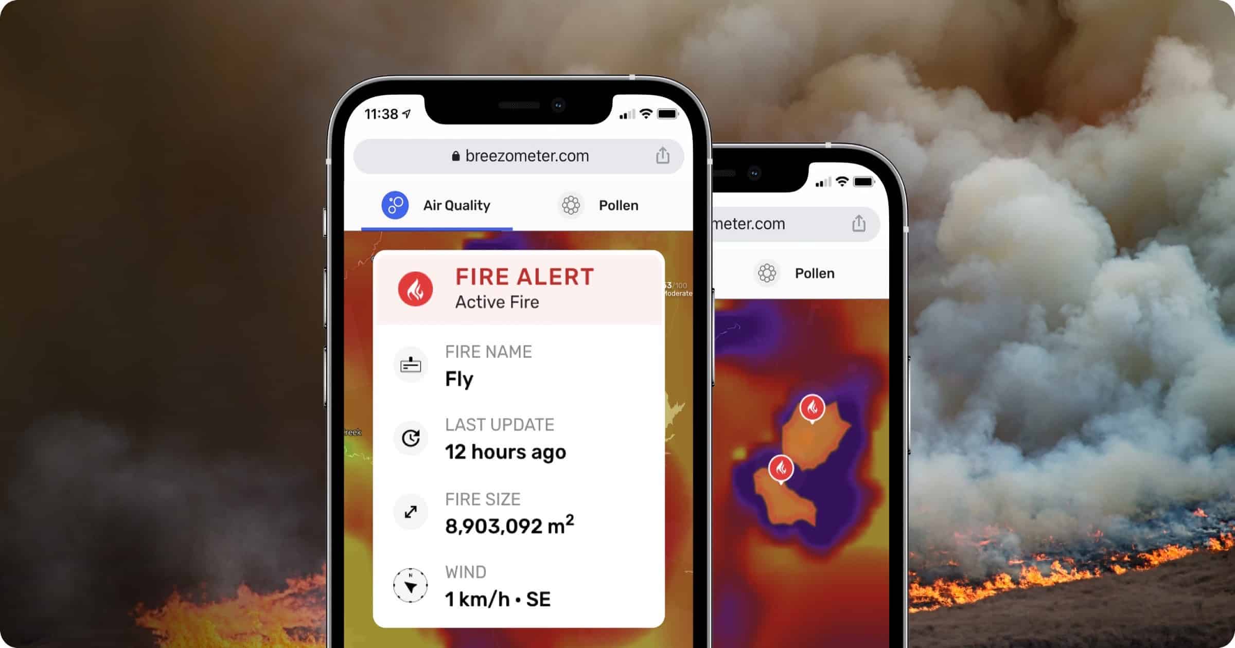
BreezoMeter, the company that provides air quality index (AQI) data for Apple’s Weather app, has launched Wildfire Tracker that provides real-time detection of wildfire perimeters.
BreezoMeter Wildfire Tracker
The tracker uses the company’s already-present system of local people who report wildfires through the BreezoMeter app, sensors, and satellite imagery. Not only do wildfires affect air quality but real-time detection and tracking can save lives.
The company lists a variety of ways for third-party integration using the BreezoMeter API:
- GPS and Live Maps – data regarding active wildfires and worsening air quality can factor into safe travel route analysis for drivers, commuters, cyclists, and pedestrians. Integration into trekking, hiking, and jogging apps is also possible.
- Smart Home Networks – connected home devices can alert users to negative wildfire impact on air quality, and keep homeowners updated on the status of nearby active fires, signal evacuation warnings, and defensive measures when needed.
- Weather Apps – wildfire intelligence can enhance weather forecasts, providing a more complete environmental picture and better empowering users to safeguard themselves and their families.
It’s certainly possible that the Wildfire Tracker could make its way into Apple’s Weather app in a future iOS update. The weather app has received a redesign in iOS 15, and it’s already possible to view a map of your local area to view temperature, precipitation, and air quality. Wildfires could be the next menu item.
